777 873 281
Po - Čt 9-15h, Pátek 9-12h, So-Ne a státní svátky zavřeno
0
Žádné produkty
Bude determinováno
Doručení
0 Kč
DPH
0 Kč
Celkem
Ceny jsou s DPH
Produkt byl úspěšně přidán do nákupního košíku
Počet:
Celkem:
0 ks zboží.
1 produkt v košíku.
Celkem za produkty:(s DPH):
Celkem za doručení:(s DPH):
Bude determinováno
DPH:
0 Kč
Celkem(s DPH):
Výsledky vyhledávání členění
-
Medina vector map. Detailed map of Medina city administrative area. Cityscape urban panorama.#474242661
-
Helsingor Municipality map, administrative division of Denmark. Vector illustration.#779733311
-
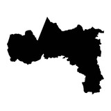
Tigray Region map, administrative division of Ethiopia. Vector illustration.#740706736
-
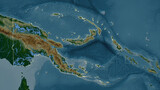
Papua New Guinea outlined. Physical elevation map#702124776
-
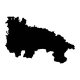
Map of the Province of a La Rioja, administrative division of Spain. Vector illustration.#789229761
-
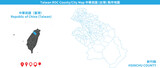
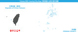
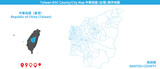
Taiwan Hsinchu vector map. Detailed map of Hsinchu County administrative area.#709559110
-
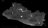
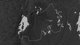
El Salvador shape isolated on black. Grayscale elevation map#703865349
-
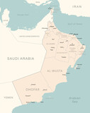
Oman - detailed map with administrative divisions country.#687222126
-
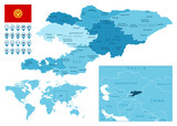
Kyrgyzstan detailed administrative blue map with country flag and location on the world map. Vector illustration#426056373
-
Saint Louis Region map, administrative division of Senegal. Vector illustration.#716455587

-
Afghanistan outlined. Grayscale elevation map#713412396
-
Taiwan Penghu vector map. Detailed map of Penghu County administrative area.#709558779
-
Togo outlined. Physical elevation map#702125652
-
Vordingborg Municipality map, administrative division of Denmark. Vector illustration.#779733125
-
Ecuador with Galápagos Islands outlined. Physical elevation map#702123090
-
Montgomery, Alabama map. Detailed map of Montgomery city administrative area. Cityscape panorama illustration. Road map with highways, streets, rivers.#584596182
-
South Africa composition. High-res satellite map#703864742
-
Dongguan vector map. Detailed map of Dongguan city administrative area. Cityscape panorama illustration. Road map with highways, streets, rivers.#534487930
-
Tbilisi map. Detailed map of Tbilisi city administrative area. Cityscape urban panorama.#499088620
-
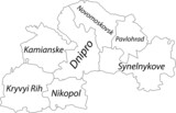
White flat vector map of raion areas of the Ukrainian administrative area of DNIPROPETROVSK (SICHESLAV) OBLAST, UKRAINE with black border lines and name tags of its raions#493035542
-
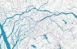
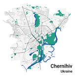
Chernihiv vector map. Detailed map of Chernihiv city administrative area. Cityscape panorama illustration. Road map with highways, streets, rivers.#492955874
-
Map of the Province of Seville, administrative division of Spain. Vector illustration.#789229849
-
Vesthimmerland Municipality map, administrative division of Denmark. Vector illustration.#780540613
-
Rwanda composition. Bilevel elevation map#705694098
-
日本。靜岡。Japan's popular sightseeing city "Shizuoka", city name font design, handwritten calligraphy style.#610023065

-
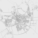
Dammam vector map. Detailed map of Dammam city administrative area. Cityscape urban panorama.#474242664
-
Atom, the smallest constituent unit of ordinary matter that has the properties of a chemical element. Red-black tone effect#781707593

-
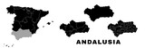
Andalusia map, autonomous community in Spain. Spanish administrative regions and municipalities.#777110410
-
Rwanda outlined. Grayscale elevation map#713413805
-
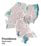
Providence map, capital city of the USA state of Rhode Island. Municipal administrative area map with buildings, rivers and roads, parks and railways.#585853524
-
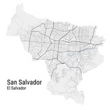
San Salvador vector map. Detailed map of San Salvador city administrative area. Cityscape panorama illustration. Road map with highways, streets, rivers.#515123424
-
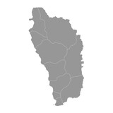
Dominica map with administrative divisions. Vector illustration.#787095762
-
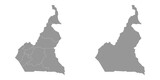
Republic of Cameroon map with administrative divisions. Vector illustration.#725583726
-
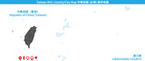
Taiwan Lienchiang vector map. Detailed map of Lienchiang County administrative area.#709558839
-
日本,鎌倉,The city "Kamakura" in Japan, kanji calligraphy word writing, travel, sightseeing, vector font.#558585158

-
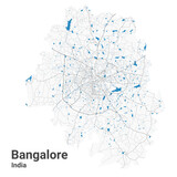
Bangalore map. Detailed map of Bengaluru city administrative area. Cityscape panorama illustration. Road map with highways, streets, rivers.#555599060
-
Algiers map. Detailed map of Algiers city administrative area. Cityscape urban panorama.#498910411
-
Frederikshavn Municipality map, administrative division of Denmark. Vector illustration.#791689795
-
Faaborg Midtfyn Municipality map, administrative division of Denmark. Vector illustration.#790746798
-
Frederiksberg Municipality map, administrative division of Denmark. Vector illustration.#779733388
-
Taiwan Nantou vector map. Detailed map of Nantou County administrative area.#709559241
-
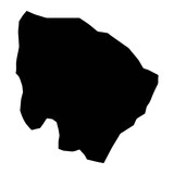
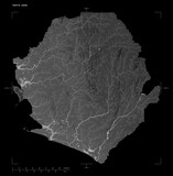
Sierra Leone shape isolated on black. Grayscale elevation map#703865669
-
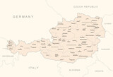
Austria - detailed map with administrative divisions country.#687221420
-
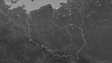
Poland outlined. Grayscale elevation map#713413735
-
Western Sahara composition. Bilevel elevation map#705694934
-
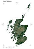
Scotland - Great Britain shape isolated on white. Physical elevation map#703866796
-
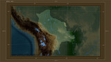
Bolivia highlighted - composition. Physical Map#698583203
-
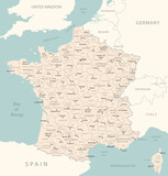
France - detailed map with administrative divisions country.#687221396
-
馬德里。The capital city of Spain, Chinese "Madrid". City sightseeing travel related theme, title word design, handwritten calligraphy style.#607896964

-
Male vector map. Detailed map of Male city administrative area. Cityscape panorama illustration. Road map with highways, streets, rivers.#524936925