777 873 281
Po - Čt 9-15h, Pátek 9-12h, So-Ne a státní svátky zavřeno
0
Žádné produkty
Bude determinováno
Doručení
0 Kč
DPH
0 Kč
Celkem
Ceny jsou s DPH
Produkt byl úspěšně přidán do nákupního košíku
Počet:
Celkem:
0 ks zboží.
1 produkt v košíku.
Celkem za produkty:(s DPH):
Celkem za doručení:(s DPH):
Bude determinováno
DPH:
0 Kč
Celkem(s DPH):
Výsledky vyhledávání členění
-
Cuba map with administrative divisions. Vector illustration.#700112845

-
Map of the Province of Toledo, administrative division of Spain. Vector illustration.#789229828
-
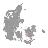
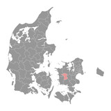
Denmark map with administrative divisions. Vector illustration.#780540939
-
Devonshire Parish map, administrative division of Bermuda. Vector illustration.#751401997

-
Cagayan Valley Region map, administrative division of Philippines. Vector illustration.#733130303
-
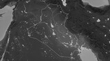
Iraq outlined. Grayscale elevation map#713413282
-
American Samoa map with administrative divisions. Vector illustration.#789244565

-
Kazakhstan map with administrative divisions. Vector illustration.#723864699

-
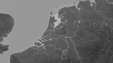
Netherlands outlined. Grayscale elevation map#713413641
-
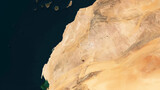
Western Sahara outlined. Low-res satellite map#698619820
-
Map of the Province of Toledo, administrative division of Spain. Vector illustration.#796490806
-
Naestved Municipality map, administrative division of Denmark. Vector illustration.#779733296
-
Canary Islands - Spain outlined. OSM Topographic Humanitarian style map#705696255
-
Shijiazhuang map. Detailed map of Shijiazhuang city administrative area. Cityscape panorama illustration. Road map with highways, streets, rivers.#535510658
-
Fukuoka city map. Detailed map of administrative area, land panorama.#446077088
-
Slagelse Municipality map, administrative division of Denmark. Vector illustration.#796247734
-
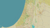
Palestine outlined. OSM Topographic Humanitarian style map#705699039
-
Phongsaly province map, administrative division of Lao Peoples Democratic Republic. Vector illustration.#698536037
-
La Romana Province map, administrative division of Dominican Republic. Vector illustration.#791633002

-
Map of the Province of a Lleida, administrative division of Spain. Vector illustration.#789229711
-
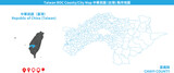
Taiwan Chiayi vector map. Detailed map of Chiayi County administrative area.#709559320
-
Grey map of Greece with administrative regions. Vector illustration.#706986205

-
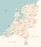
Netherlands - detailed map with administrative divisions country.#687221447
-
Costa Rica outlined. Sepia elevation map#705702273

-
India composition. Bilevel elevation map#705692883
-
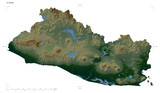
El Salvador composition. Bilevel elevation map#705692305
-
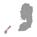
Deir al Balah Governorate map, administrative division of Palestine. Vector illustration.#685207777
-
Assens Municipality map, administrative division of Denmark. Vector illustration.#790731749

-
Shanghai map. Detailed map of Shanghai city administrative area. Cityscape panorama.#441448655
-
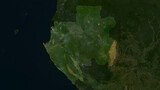
Gabon highlighted. Low-res satellite map#698579774
-
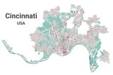
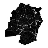
Cincinnati map, administrative area#634615265
-
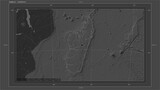
Madagascar composition. Bilevel elevation map#705693381
-
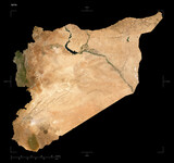
Syria shape isolated on black. Low-res satellite map#702128262
-
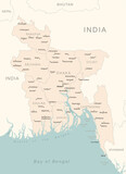
Bangladesh - detailed map with administrative divisions country.#687222133
-
Vicenza map. Detailed map of Vicenza city administrative area. Cityscape urban panorama.#516065717
-
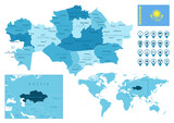
Kazakhstan detailed administrative blue map with country flag and location on the world map. Vector illustration#425535965
-
Soro Municipality map, administrative division of Denmark. Vector illustration.#796253348
-
Paul municipality map, administrative division of Cape Verde. Vector illustration.#795202776

-
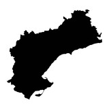
Map of the Province of Tarragona, administrative division of Spain. Vector illustration.#789229827
-
Hoje Taastrup Municipality map, administrative division of Denmark. Vector illustration.#779733449

-
Viborg Municipality map, administrative division of Denmark. Vector illustration.#779733129
-
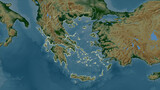
Greece outlined. Physical elevation map#702123611
-
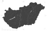
Hungary shape isolated on white. Bilevel elevation map#702121603
-
Capellen canton map, administrative division of Luxembourg. Vector illustration.#701693391
-
Stevns Municipality map, administrative division of Denmark. Vector illustration.#780540656

-
Taiwan Yilan vector map. Detailed map of Yilan County administrative area.#709558989

-
Ecuador with Galápagos Islands composition. Bilevel elevation map#705692275
-
El Salvador shape isolated on white. Physical elevation map#703866080
-
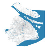
Black Oldenburg city map, administrative area#632178207
-
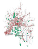
La Paz vector map. Detailed map of La Paz city administrative area. Cityscape panorama illustration. Road map with highways, streets, rivers.#523999729